Recently in the Columbia Gorge

That same day I posted pictures out the bedroom window, I drove to the Gorge and drove along the Historic Columbia River Highway. I stopped at…

Women's Forum Overlook

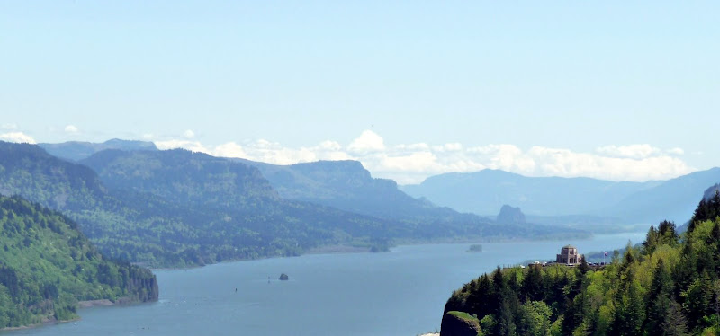
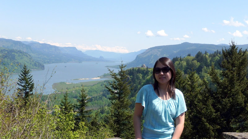
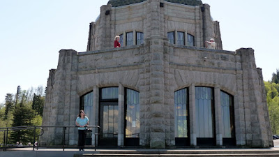
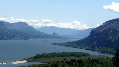
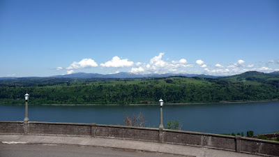
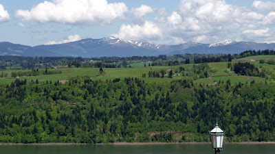
And then followed the highway to Vista Point. Finally! After driving by it so many times, I finally got up there! It's the little building you saw on the right in the shots above…

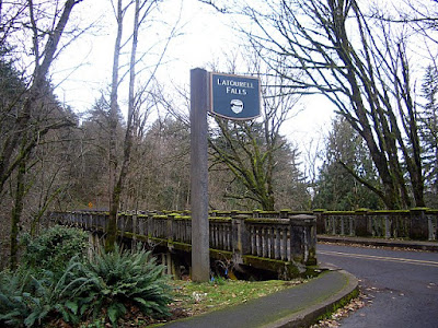
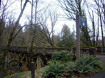
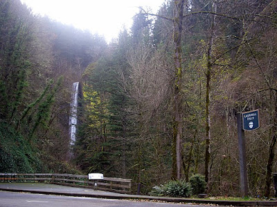
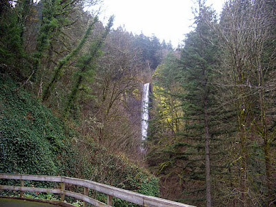
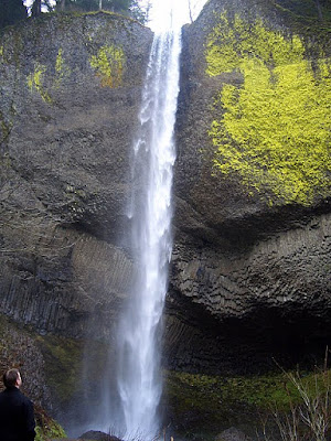
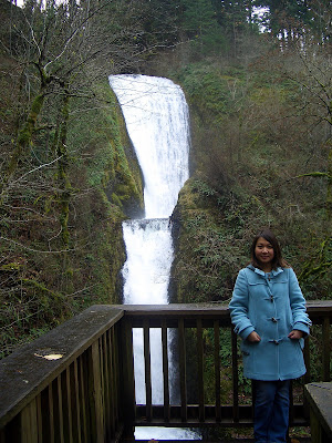
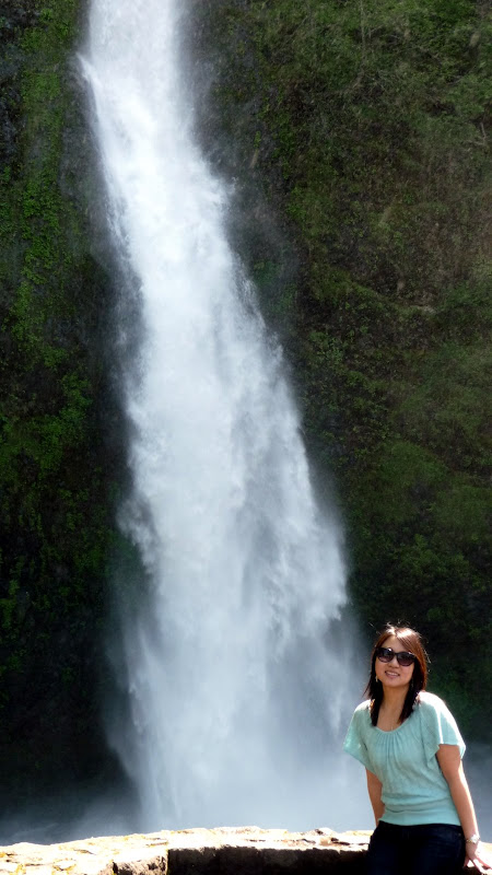
Since we'd been to Latourell Falls already (as seen in my previous waterfall post), we went on to Shepperds Dell instead.

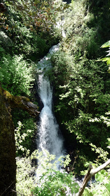
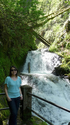
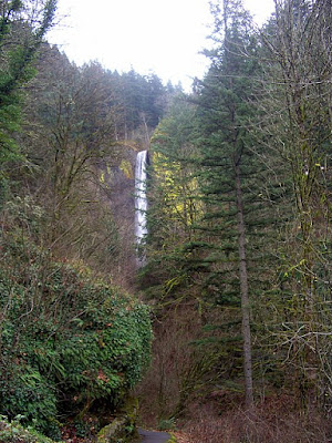
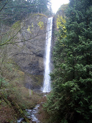
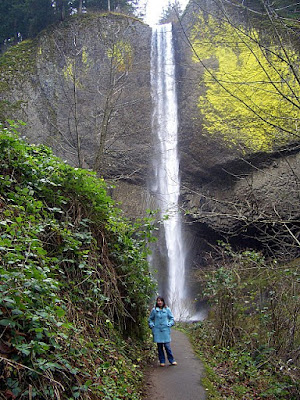
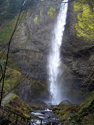
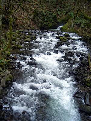
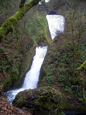
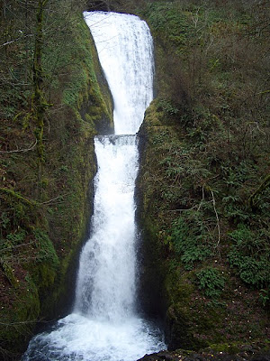
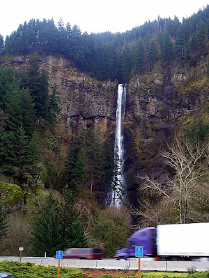
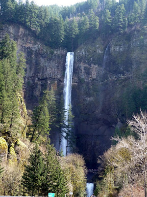
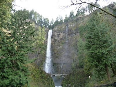
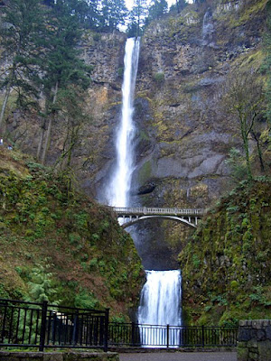
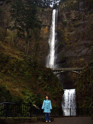
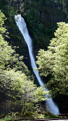
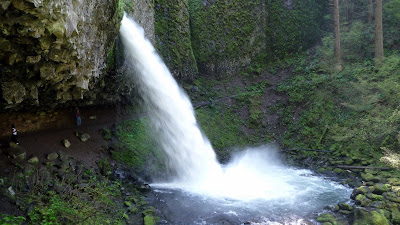
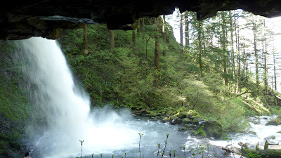
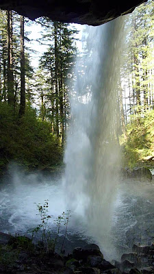
Same reason for skipping Bridal Veil (also seen in previous waterfall post). Unfortunately Wahkeena, the next waterfall, was packed- there was no parking anywhere. I was annoyed that I had to keep driving on by, but it is a 2 lane historic road, so I couldn't turn around to circle or make the line of cars behind me wait. Needless to say the Multnomah parking lot from this highway was also packed, and I kept driving. We didn't do Oneonta because of time constraints and I didn't have my hiking shoes. The trail here is not paved like the others. But, we did see Horsetail Falls, and hike up to Ponytail Falls to walk behind the waterfall, which was a 1 mile steep hike but worth it.

I'll get you next time Wahkeena and Oneota!


From Album Histroic Columbia River Highway 


Signature

Mt St Helens- a nice trip even on a cloudy day

I went out to Mt St Helens this past Saturday to test out what a visit for my parents and two siblings would be when they are here in a couple weeks. Unfortunately, putting the trip off from the previous weekend to this past weekend didn't give Portland any clearer weather. In fact, it alternated bizarrely from 70s and sunshine to hail and 40 mph winds during the afternoon. When we first got there around lunchtime, it was very misty and mysterious and peaceful, and we went straight up hoping to get to the Johnston Ridge Observatory. Then we found out it is closed until May 18. Oh well. At least it will be open when my family arrives.

We then took the return trip back in which we pulled over at various pullouts on the road and at a few viewpoints. Even though there was actually snow when we got high enough, the roads are wonderfully well maintained and clear, and as we got down the sun of course came out.

We didn't walk more than 1/4 a mile and that was only at the first stop by the lake on pavement, no hiking at all. All other shots are from pullouts and various visitor center and viewpoints. I would say that going up to the top and then working your way down is a good way to see Mt St Helens so you can see the epicenter, and then follow the trail of what happened as you go down the mountains.

Don't expect it to look like the pictures from 10 years ago with all ash and mud and grayness. Instead of being a place of destruction, you can really see the area recovering and earth pulling itself up by its bootstraps, which is more a place of rebirth. It was a really different experience from my visits to Hawaii's Volcano Park- instead of feeling like I was on another planet, I felt much more enveloped in the context of the life that was here then and now, which was a neat experience.

Here are some of my favorite shots from our cameras that day.


Warning for animals against getting fat:


Signature

Waterfalls in the Columbia Gorge

You can see a lot of waterfalls along the Historic Columbia Highway where you can just drive past them, or pull over (the smarter thing to do I think) and take a short walk (not even long enough to consider a hike- it might be the equivalent of walking from the parking lot into and to the back of a Sam's Club or Costco distance-wise) to a better view.

For instance, there are seven main ones that are essentially in a row in one short area: Bridal Veil, LaTourell, Multnomah,

We were looking for Bridal Veil, but found this instead. You can see from the first picture how cool the road and bridges are.

The view was great from just the street as you can see, and we decided to park and get just a little closer… in fact, you can walk practically right up and get a face full of cold watefall mist.

We backtracked along the road and discovered Bridal Veil could not be seen from the road, but if you park and walk maybe 15 minutes, you would be able to see it. The walk is along a path that is completely paved, and is .75 mi from the parking lot.

This is how easy it is to see Multnomah Falls. These are taken… from the car.

Multnomah is a double tier fall.

The waterfalls we didn't have a chance to see are Horsetail Falls, Wahkeena Falls, and Shepperd's Dell… and these are just the waterfalls with easy walking of less than a mile. There are more waterfalls within short hikes.


Signature